Five ways to use social media and technology for disaster preparedness
I am republishing my article that was published at the Manila Times on July 22, 2018 because of anonymous weather alerts getting the rounds of private messages. As Inday Varona said in her Facebook post said, “Anything with a very detailed weather listing (time, included; may sea and air travel cancellations pa!), way ahead of entrance to Philippine Area of Responsibility (PAR), is most likely false. Typhoon path not even all that clear and could shift.?
Let’s get into a habit of sharing ONLY vetted information. Warnings are good. Necessary. But the kind of alarmist stuff doing the PM rounds doesn’t help.”
—–
Did you know the Philippines is hit by an average of 20 typhoons a year? Our country is vulnerable to natural disasters and in emergency situations, it is important to use all available channels of communications such as social media, print, radio, and TV broadcasting, two-way radio systems, and SMS. Based on a WeAreSocial 2018 Global Digital suite of reports, there are 67 million Philippine internet users with 62 million active social media users. Let’s continue to use our smartphones and internet connection in our disaster preparedness. Social media can provide us with emergency updates before any natural disaster hits our country and when power interruption cuts us off from monitoring.
Monitor DOST PAGASA and the Color Coded Warnings
Follow the Official Facebook account of the Philippine Atmospheric, Geophysical and Astronomical Services Administration (PAGASA-DOST) https://www.facebook.com/PAGASA.DOST.GOV.PH/ and its twitter account @dost_pagasa. Though their bulletins can be quite technical, just memorize the color-coded rainfall advisories composed of three colors: Yellow, Orange and Red. The darker the color is, the more severe it gets.
To give you a perspective, Tropical Storm Ondoy (Ketsana) during a six-hour period dumped 347.5? mm of rainfall which is roughly 58 mm/hour . The Red warning is rainfall of more than 30 mm within an hour (8 gallons per square meter/hour) and is expected to continue in the next two hours. Continuous rainfall of more than 65mm for 3 hours also prompts Pagasa to give this advisory. When Pagasa gives the red advisory, it means that severe flooding in low-lying areas is expected and residents should start evacuating.
Also follow Japan Meteorological Agency (JMA) and Joint Typhoon Warning Center (JTWC).
Enable to receive “Extreme Alerts” in your smartphone
The National Disaster Risk Reduction and Management Council or NDRRMC is able to send emergency alert and warning messages to the public with the help of the National Telecommunication Companies (NTC). Go to your settings under “Cellphone broadcasts” to enable the receive “extreme alerts” and “severe alerts”. Cell Broadcast/Cell Information (CB) is designed for simultaneous delivery to multiple users in a specified area.
Whereas SMS messages are sent point-to-point, Cell Broadcast messages are sent point-to-area.
Monitor Twitter or Facebook accounts of your local government units (LGU)
Some cities or towns have an active social media presence. I discovered this while traveling during a typhoon from Manila to Baguio and I was trying to find out why we were stuck in traffic for two hours in Marcos Highway. Using the search bar of Twitter, I was able to locate through key words, the @PIA_Cordillera @PNPBenguet @PNPcordillera who tweeted updates of road conditions.
Monitor calamity-specific hashtags
I participated in a meeting for a public and private sector online coordination during Typhoon Ruby in 2014 .
Organized by the Presidential Communications Development and Strategic Planning Office, we agreed on unified hashtags for easier dissemination of information and coordination. Twitter is the number one social network to monitor hashtags . A hashtag allows grouping of similarly tagged messages, and also allows an electronic search to return all messages that contain it.
For natural calamities, these are the hashtags:
a. For typhoons, tropical storms, and tropical depressions inside the Philippine Area of Responsibility: + PH (e.g., #HenryPH, #IndayPH, #YolandaPH)
b. For earthquakes and tsunamis: #QuakePH and #TsunamiPH, respectively
c. For volcanic activities/eruptions: + PH (e.g., #MayonPH, #TaalPH)
The following hashtags are used for updates in preparation for a natural disaster:
a. #walangpasok — For announcements of class and work suspensions.
b. #FloodPH — For reporting flooded areas, for the information of other social media users as well as government agencies.
In addition to the calamity-specific hashtag, the following hashtags are used in response to a natural di saster:
a. #RescuePH — used when someone is in need of rescuing or has knowledge of someone in need of rescuing.
b. #ReliefPH — used by social media users themselves in need of, or have information on individuals and/or communities in need of relief goods and services. The hashtag is also used as a catch-all for updates on relief aid provided.
Download weather apps
Lives have been lost due to storm flooding because people didn’t know what path to take to safety or even if their area would be hit by a flood-causing downpour. Useful weather apps are ARKO PH, NOAH PH, and Weather Philippines.
The University of the Philippines Nationwide Operational Assessment of Hazards (UP NOAH) developed the NOAH PH app together with ARKO (the mobile app for flood, storm surge, and landslide hazard maps). The NOAH app features a user-friendly interface that allows you to view near real time weather information, which can help prevent and mitigate disasters. Arko allows you to check on how flooding and/or rainfall is in other areas.
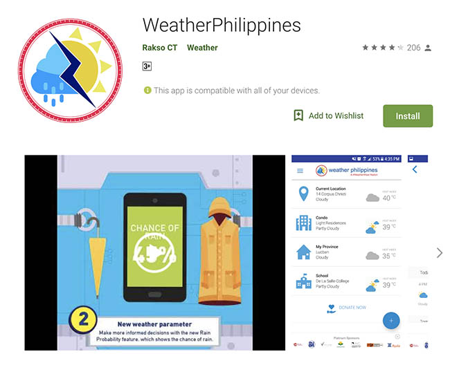
Weather Philippines gives an overview of your selected locations’ weather information. Using the NOAH and ARKO app can be challenging at first but the hazard maps are worth studying to understand the risks in your area, especially when you or your loved ones are travelling . You can also check the website noah.up.edu.ph .
It is not a matter of getting calamity updates.
In the initial hours of a disaster, we should not expect the disaster agencies, rescue teams, and law enforcers to be our first responders because it is possible that many of them will themselves be affected. A family needs to have a preparedness plan during emergencies and a survival kit, which can just be a huge backpack or a large plastic pail with the basics that you need like food, water, medicines and packing in a transistor radio, power bank, flashlights, extra batteries, some clothes, and blankets. Preparedness begins at home and we must plan to help ourselves to minimize the impact in our household.
How Google fights disinformation on YouTube
Meet the 8 common troll strategies
Helping our children deal with violent, graphic images from this #WarOnDrugs
About The Author
Noemi Lardizabal-Dado
Noemi Lardizabal-Dado is a content strategist with over 19 years of experience in blogging, content management, citizen advocacy, and media literacy, and over 30 years in web development. Otherwise known as @MomBlogger on social media, she believes in making a difference in the lives of her children by advocating for social change that benefits the greater good. She is a co-founder and a member of the editorial board of Blog Watch . She is a resource speaker on media literacy, social media, blogging, digital citizenship, good governance, transparency, parenting, women’s rights, wellness, and cyber safety. Her personal blogs such as aboutmyrecovery.com (parenting) , pinoyfoodblog.com (recipes), techiegadgets.com (gadgets) and benguetarabica.coffee keep her busy outside of Blog Watch. Disclosure: I am an advocate. I am NOT neutral. I will NOT give social media mileage to members of political clans, epal, a previous candidate for the same position and those I believe are a waste of taxpayers' money. I do not support or belong to any political party. I was part of accredited media covering the Office of the Vice President and Leni Robredo as she ran as a presidential aspirant in the 2022 National and local elections. On August 5, 2021, YouTube announced that I was selected as one of 50 Program participants of its Creator Program for Independent Journalists She was a Senior Consultant for ALL media engagements for the PCOO-led Committee on Media Affairs & Strategic Communications (CMASC) under the ASEAN 2017 National Organizing Council from January 4 -July 5, 2017. Having been an ASEAN advocate since 2011, she has written extensively about the benefits of the ASEAN community and as a region of opportunities on Blog Watch and aboutmyrecovery.com. Organization affiliation includes Consortium on Democracy and Disinformation Updated June 6, 2022